 vesseltracker.com
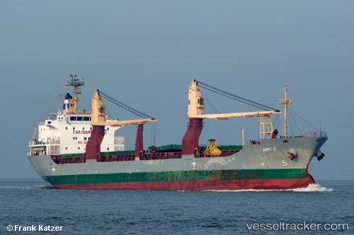
Find the position of the vessel Sider Amy on the map. The latter are known coordinates and path.
marine traffic ship tracker show on live map
The current position of vessel Sider Amy is 20.05167 lat / -71.06667 lng. Updated: 2025-11-11 12:38:08 UTCDetails:
Last coordinates of the vessel:
UTC, 20.12333, -71.57333, course: -1, speed: 11UTC, 20.12167, -71.45333, course: -1, speed: 11
UTC, 20.11667, -71.23500, course: -1, speed: 10
2025-11-11 12:38:08 UTC, 20.05167, -71.06667, course: -1, speed: 11