 vesseltracker.com
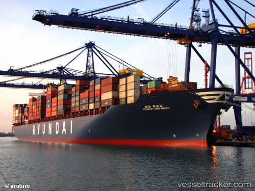
Find the position of the vessel Hyundai Long Beach on the map. The latter are known coordinates and path.
marine traffic ship tracker show on live map
The current position of vessel Hyundai Long Beach is 25.0664 lat / 54.5851 lng. Updated: 2025-05-31 06:56:56 UTCPort of registry:
Monrovia (capital city of Liberia)Payload_mass:
72982 tonneGross tonnage:
71786Service entry:
2009-01-01T00:00:00ZManufacturer:
Imabari Shipbuilding Hiroshima Shipyard (Japanese shipyard)
Details:
Last coordinates of the vessel:
2025-05-31 06:56:56 UTC, 25.0664, 54.5851, course: 18, speed: 13.5