 vesseltracker.com
Find the position of the vessel Blue Sky I on the map. The latter are known coordinates and path.
marine traffic ship tracker show on live map
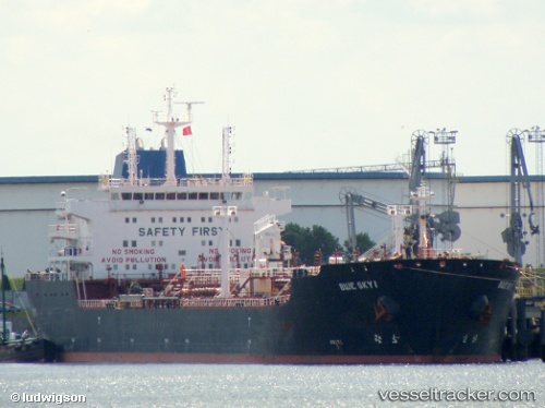
The current position of vessel Blue Sky I is 2.12032 lat / 102.02744 lng. Updated: 2025-11-18 21:11:57 UTCCurrently sailing under the flag of Liberia
Blue Sky I built in 2006 year
Deadweight:
38402 tDetails:
Last coordinates of the vessel:
UTC, 1.58391, 101.92580, course: 346, speed: 8.7UTC, 1.77385, 101.86069, course: 350, speed: 11.4
UTC, 1.94825, 101.88749, course: 35, speed: 10.7
2025-11-18 21:11:57 UTC, 2.12032, 102.02744, course: 30, speed: 10.8