 vesseltracker.com
Find the position of the vessel Blue Sky I on the map. The latter are known coordinates and path.
marine traffic ship tracker show on live map
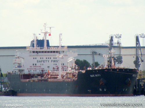
The current position of vessel Blue Sky I is 17.40847 lat / 70.70433 lng. Updated: 2025-11-04 14:49:47 UTCCurrently sailing under the flag of Liberia
Blue Sky I built in 2006 year
Deadweight:
38402 tDetails:
Last coordinates of the vessel:
UTC, 17.93998, 70.38038, course: 150, speed: 11.1UTC, 17.65103, 70.55397, course: 148, speed: 11.2
UTC, 17.52315, 70.63461, course: 148, speed: 11.2
2025-11-04 14:49:47 UTC, 17.40847, 70.70433, course: 148, speed: 11.3