 vesseltracker.com
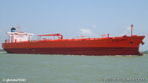
Find the position of the vessel Grimstad on the map. The latter are known coordinates and path.
marine traffic ship tracker show on live map
The current position of vessel Grimstad is 36.37693 lat / 35.09642 lng. Updated: 2025-11-04 06:20:18 UTCCurrently sailing under the flag of Bahamas
Grimstad built in 2007 year
Deadweight:
105786 tDetails:
Last coordinates of the vessel:
UTC, 36.37711, 35.09969, course: 319, speed: 0.1UTC, 36.37701, 35.09625, course: 33, speed: 0
UTC, 36.37698, 35.09645, course: 22, speed: 0
2025-11-04 06:20:18 UTC, 36.37693, 35.09642, course: 25, speed: 0