 vesseltracker.com
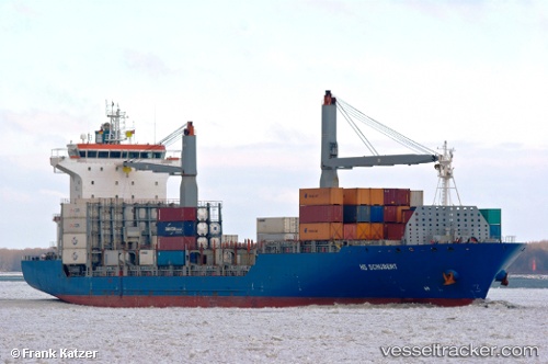
Live AIS position:
27.95667° N, 77.16333° W UTC. 73 nm N of Green Turtle Cay),
updated 2025-11-19 15:07:41 UTC.
Find the position of the vessel Galani on the map. The latter are known coordinates and path.
marine traffic ship tracker show on live map
The current position of vessel Galani is 27.95667 lat / -77.16333 lng. Updated: 2025-11-19 15:07:41 UTCDetails:
Last coordinates of the vessel:
UTC, 27.98145, -77.01217, course: 263, speed: 17.2UTC, 27.98145, -77.01217, course: 263, speed: 17.2
UTC, 27.97500, -77.05500, course: -1, speed: 17
2025-11-19 15:07:41 UTC, 27.95667, -77.16333, course: -1, speed: 16