 vesseltracker.com
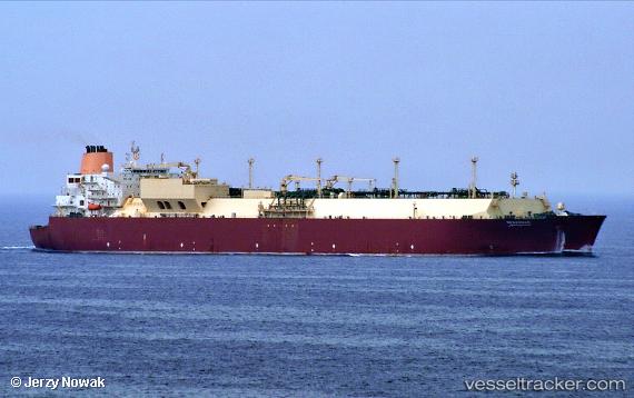
Find the position of the vessel Mesaimeer on the map. The latter are known coordinates and path.
marine traffic ship tracker show on live map
The current position of vessel Mesaimeer is 19.6706 lat / 63.1879 lng. Updated: 2025-05-10 12:42:45 UTCCurrently sailing under the flag of Marshall Is
Mesaimeer built in 2009 year
Deadweight:
107160 tPayload_mass:
107160 tonneGross tonnage:
136168Service entry:
2009-01-01T00:00:00ZDetails:
Last coordinates of the vessel:
UTC, 19.0662, 63.7528, course: 318, speed: 17.6UTC, 19.3265, 63.5209, course: 317, speed: 17.9
UTC, 19.5372, 63.3189, course: 318, speed: 17.7
2025-05-10 12:42:45 UTC, 19.6706, 63.1879, course: 317, speed: 17.3
The ship also appears on the maps: