 vesseltracker.com
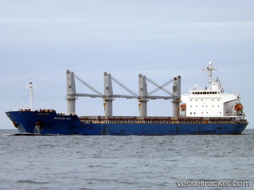
Vessel MANTA SENA IMO: 9338137, MMSI: 636021630 General Cargo Ship
UTC, -7.68500, 41.65167, course: -1, speed: 11
UTC, -7.85833, 41.97500, course: -1, speed: 10
2026-01-18 07:25:19 UTC, -8.02833, 42.27167, course: -1, speed: 10
Live AIS position:
UTC. 181 nm NE of Mtwara),
updated 2026-01-18 07:25:19 UTC.
Find the position of the vessel MANTA SENA on the map. The latter are known coordinates and path.
marine traffic ship tracker show on live map
The current position of vessel MANTA SENA is -8.02833 lat / 42.27167 lng. Updated: 2026-01-18 07:25:19 UTCCurrently sailing under the flag of Liberia
MANTA SENA built in 2006 year
Deadweight:
32354 tDetails:
Last coordinates of the vessel:
UTC, -7.59933, 41.49031, course: 115, speed: 10.9UTC, -7.68500, 41.65167, course: -1, speed: 11
UTC, -7.85833, 41.97500, course: -1, speed: 10
2026-01-18 07:25:19 UTC, -8.02833, 42.27167, course: -1, speed: 10