 vesseltracker.com
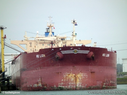
Vessel LADOGA IMO: 9339313, MMSI: 273259430 Crude Oil Tanker
UTC, 2.22142, 104.79859, course: 42, speed: 0
UTC, 2.22103, 104.79906, course: 20, speed: 0
2026-01-17 09:37:59 UTC, 2.22099, 104.79893, course: 20, speed: 0
Live AIS position:
UTC. 65 nm NE of Kampung Tanjung Langsat),
updated 2026-01-17 09:37:59 UTC.
Find the position of the vessel LADOGA on the map. The latter are known coordinates and path.
marine traffic ship tracker show on live map
The current position of vessel LADOGA is 2.22099 lat / 104.79893 lng. Updated: 2026-01-17 09:37:59 UTCCurrently sailing under the flag of Russia
LADOGA built in 2007 year
Deadweight:
115857 tDetails:
Last coordinates of the vessel:
UTC, 2.22104, 104.79906, course: 20, speed: 0UTC, 2.22142, 104.79859, course: 42, speed: 0
UTC, 2.22103, 104.79906, course: 20, speed: 0
2026-01-17 09:37:59 UTC, 2.22099, 104.79893, course: 20, speed: 0