 vesseltracker.com
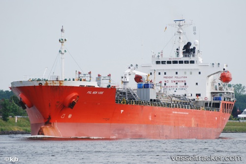
Find the position of the vessel OCEAN HOPE on the map. The latter are known coordinates and path.
marine traffic ship tracker show on live map
The current position of vessel OCEAN HOPE is 29.02992 lat / 48.24802 lng. Updated: 2025-11-02 03:27:47 UTCCurrently sailing under the flag of Korea (Republic of)
OCEAN HOPE built in 2006 year
Deadweight:
19970 tDetails:
Last coordinates of the vessel:
UTC, 29.02993, 48.24786, course: 355, speed: 0UTC, 29.02992, 48.24804, course: 342, speed: 0
UTC, 29.02994, 48.24795, course: 350, speed: 0.1
2025-11-02 03:27:47 UTC, 29.02992, 48.24802, course: 344, speed: 0.1