 vesseltracker.com
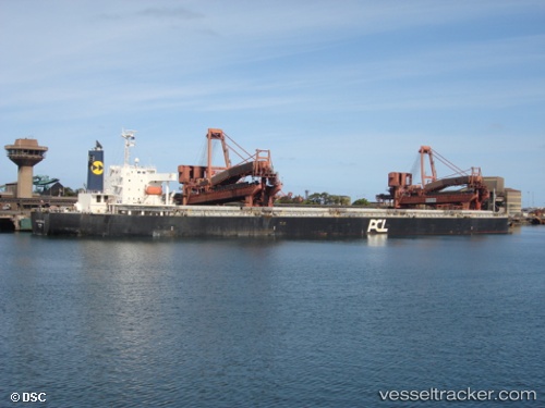
Vessel Anna Oldendorff IMO: 9342889, MMSI: 636092685 Bulk Carrier
UTC, 25.65332, 53.10959, course: 272, speed: 8.6
UTC, 25.66537, 52.83356, course: 273, speed: 9.3
2026-01-18 19:25:09 UTC, 25.68664, 52.57725, course: 292, speed: 9.1
Live AIS position:
UTC. Near Halul Island),
updated 2026-01-18 19:25:09 UTC.
Find the position of the vessel Anna Oldendorff on the map. The latter are known coordinates and path.
marine traffic ship tracker show on live map
The current position of vessel Anna Oldendorff is 25.68664 lat / 52.57725 lng. Updated: 2026-01-18 19:25:09 UTCDetails:
Last coordinates of the vessel:
UTC, 25.50393, 53.52134, course: 314, speed: 9.7UTC, 25.65332, 53.10959, course: 272, speed: 8.6
UTC, 25.66537, 52.83356, course: 273, speed: 9.3
2026-01-18 19:25:09 UTC, 25.68664, 52.57725, course: 292, speed: 9.1