 vesseltracker.com
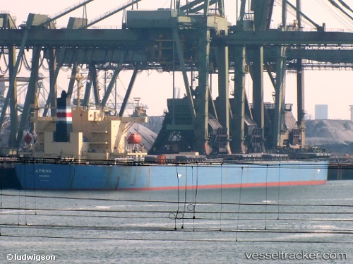
Vessel 538009597 IMO: 9343326, MMSI: 538009597
UTC, 46.27327, 155.76398, course: 75, speed: 11
UTC, 46.31172, 155.91510, course: 70, speed: 10.9
2026-01-16 17:57:48 UTC, 46.31172, 155.91510, course: 70, speed: 10.9
Live AIS position:
UTC. 105 nm E of Tepanje),
updated 2026-01-16 17:57:48 UTC.
Find the position of the vessel 538009597 on the map. The latter are known coordinates and path.
marine traffic ship tracker show on live map
The current position of vessel 538009597 is 46.31172 lat / 155.91510 lng. Updated: 2026-01-16 17:57:48 UTCDetails:
Last coordinates of the vessel:
UTC, 46.26207, 155.71214, course: 77, speed: 10.9UTC, 46.27327, 155.76398, course: 75, speed: 11
UTC, 46.31172, 155.91510, course: 70, speed: 10.9
2026-01-16 17:57:48 UTC, 46.31172, 155.91510, course: 70, speed: 10.9