 vesseltracker.com
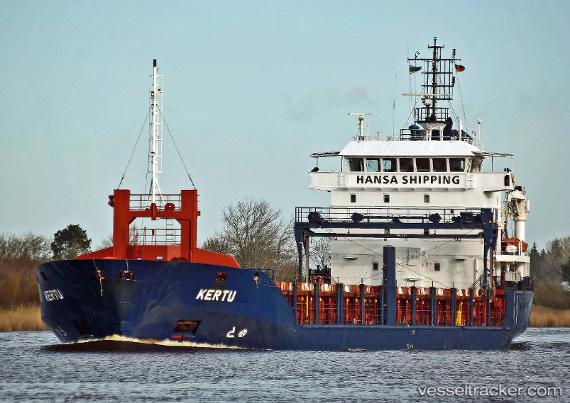
Vessel Kertu IMO: 9344368, MMSI: 256956000 Multi Purpose Carrier
UTC, 51.65123, 3.34210, course: 331, speed: 11.4
UTC, 51.82760, 3.30998, course: 32, speed: 10
2026-01-17 06:21:10 UTC, 52.18886, 3.47832, course: 18, speed: 9
Live AIS position:
UTC. 20 nm NW of Llanwrda),
updated 2026-01-17 06:21:10 UTC.
Find the position of the vessel Kertu on the map. The latter are known coordinates and path.
marine traffic ship tracker show on live map
The current position of vessel Kertu is 52.18886 lat / 3.47832 lng. Updated: 2026-01-17 06:21:10 UTCCurrently sailing under the flag of Malta
Kertu built in 2005 year
Deadweight:
4800 tDetails:
Last coordinates of the vessel:
UTC, 51.47295, 3.50921, course: 331, speed: 12.3UTC, 51.65123, 3.34210, course: 331, speed: 11.4
UTC, 51.82760, 3.30998, course: 32, speed: 10
2026-01-17 06:21:10 UTC, 52.18886, 3.47832, course: 18, speed: 9