 vesseltracker.com
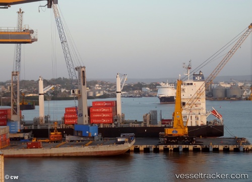
Vessel OKEE HENRI IMO: 9347279, MMSI: 636093086 Container Ship
UTC, 16.18667, -86.80500, course: -1, speed: 13
UTC, 16.18333, -86.86167, course: -1, speed: 13
2026-01-18 08:32:21 UTC, 16.16167, -87.12167, course: -1, speed: 13
Live AIS position:
UTC. 29 nm NW of La Ceiba),
updated 2026-01-18 08:32:21 UTC.
Find the position of the vessel OKEE HENRI on the map. The latter are known coordinates and path.
marine traffic ship tracker show on live map
The current position of vessel OKEE HENRI is 16.16167 lat / -87.12167 lng. Updated: 2026-01-18 08:32:21 UTCCurrently sailing under the flag of Liberia
OKEE HENRI built in 2008 year
Deadweight:
28147 tDetails:
Last coordinates of the vessel:
UTC, 16.20333, -86.39500, course: -1, speed: 13UTC, 16.18667, -86.80500, course: -1, speed: 13
UTC, 16.18333, -86.86167, course: -1, speed: 13
2026-01-18 08:32:21 UTC, 16.16167, -87.12167, course: -1, speed: 13