 vesseltracker.com
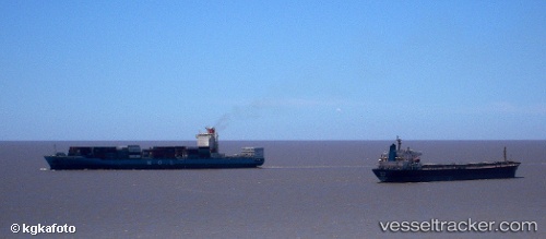
Find the position of the vessel WADI BANI KHALID on the map. The latter are known coordinates and path.
marine traffic ship tracker show on live map
The current position of vessel WADI BANI KHALID is 1.2750966666667 lat / 103.90763666667 lng. Updated: 2025-10-18 16:43:51 UTCCurrently sailing under the flag of Marshall Islands
WADI BANI KHALID built in 2008 year
Deadweight:
50596 tDetails:
Last coordinates of the vessel:
UTC, 1.151, 103.78531166667, course: 57, speed: 10.2UTC, 1.2706366666667, 103.90345166667, course: 37, speed: 3.4
UTC, 1.2725866666667, 103.905075, course: 14, speed: 0.6
2025-10-18 16:43:51 UTC, 1.2750966666667, 103.90763666667, course: 277, speed: 0.2
The ship also appears on the maps: