 vesseltracker.com
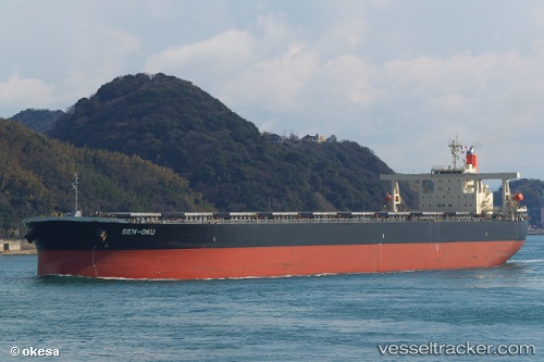
Vessel Sen oku IMO: 9355159, MMSI: 353073000 Ore Carrier
UTC, 34.93182, 121.13772, course: 118, speed: 10.5
UTC, 34.86833, 121.25500, course: -1, speed: 10
2026-01-16 17:03:16 UTC, 34.71667, 121.48167, course: -1, speed: 10
Live AIS position:
UTC. 83 nm NE of Sanya Pt),
updated 2026-01-16 17:03:16 UTC.
Find the position of the vessel Sen oku on the map. The latter are known coordinates and path.
marine traffic ship tracker show on live map
The current position of vessel Sen oku is 34.71667 lat / 121.48167 lng. Updated: 2026-01-16 17:03:16 UTCDetails:
Last coordinates of the vessel:
UTC, 35.01597, 120.85901, course: 108, speed: 11UTC, 34.93182, 121.13772, course: 118, speed: 10.5
UTC, 34.86833, 121.25500, course: -1, speed: 10
2026-01-16 17:03:16 UTC, 34.71667, 121.48167, course: -1, speed: 10