 vesseltracker.com
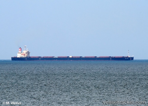
Live AIS position:
20.89622° N, 107.26319° E UTC. Near CAM PHA),
updated 2025-11-23 22:22:06 UTC.
Find the position of the vessel Elettra on the map. The latter are known coordinates and path.
marine traffic ship tracker show on live map
The current position of vessel Elettra is 20.89622 lat / 107.26319 lng. Updated: 2025-11-23 22:22:06 UTCCurrently sailing under the flag of Panama
Elettra built in 2009 year
Deadweight:
106355 tDetails:
Last coordinates of the vessel:
UTC, 20.89875, 107.26377, course: 136, speed: 0UTC, 20.89850, 107.26350, course: 129, speed: 0.1
UTC, 20.89624, 107.26317, course: 68, speed: 0
2025-11-23 22:22:06 UTC, 20.89622, 107.26319, course: 68, speed: 0