 vesseltracker.com
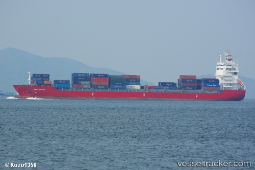
Vessel 636092974 IMO: 9357793, MMSI: 636092974
UTC, 2.81267, 101.29608, course: 110, speed: 0
UTC, 2.81167, 101.29500, course: -1, speed: 0
2026-01-17 15:57:09 UTC, 2.81258, 101.29596, course: 106, speed: 0
Live AIS position:
UTC. Near Pulau Indah),
updated 2026-01-17 15:57:09 UTC.
Find the position of the vessel 636092974 on the map. The latter are known coordinates and path.
marine traffic ship tracker show on live map
The current position of vessel 636092974 is 2.81258 lat / 101.29596 lng. Updated: 2026-01-17 15:57:09 UTCDetails:
Last coordinates of the vessel:
UTC, 2.81036, 101.29819, course: 340, speed: 0UTC, 2.81267, 101.29608, course: 110, speed: 0
UTC, 2.81167, 101.29500, course: -1, speed: 0
2026-01-17 15:57:09 UTC, 2.81258, 101.29596, course: 106, speed: 0