 vesseltracker.com
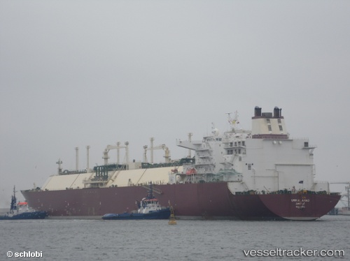
Find the position of the vessel Umm Al Amad on the map. The latter are known coordinates and path.
marine traffic ship tracker show on live map
The current position of vessel Umm Al Amad is 10.018903333333 lat / 111.36011166667 lng. Updated: 2025-10-31 17:18:18 UTCCurrently sailing under the flag of Marshall Is
Umm Al Amad built in 2008 year
Deadweight:
121730 tDetails:
Last coordinates of the vessel:
UTC, 9.48308, 110.86529166667, course: 42, speed: 15.7UTC, 9.6410583333333, 110.99909, course: 45, speed: 15.6
UTC, 9.985775, 111.32844, course: 46, speed: 15.6
2025-10-31 17:18:18 UTC, 10.018903333333, 111.36011166667, course: 46, speed: 15.6
The ship also appears on the maps: