 vesseltracker.com
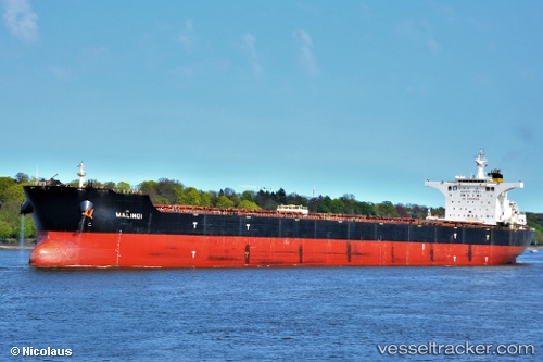
Find the position of the vessel Malindi on the map. The latter are known coordinates and path.
marine traffic ship tracker show on live map
The current position of vessel Malindi is -35.9481 lat / 21.1012 lng. Updated: 2025-03-19 06:49:59 UTCCurrently sailing under the flag of Malta
Malindi built in 2008 year
Port of registry:
Valletta (capital of Malta)Speed:
14 knotDeadweight:
177987 tPayload_mass:
177987 tonneGross tonnage:
91739Service entry:
2008-01-01T00:00:00ZManufacturer:
Shanghai Waigaoqiao ShipbuildingDetails:
Last coordinates of the vessel:
UTC, -35.7562, 20.5532, course: 113, speed: 10.7UTC, -35.8068, 20.6963, course: 112, speed: 10.9
UTC, -35.8657, 20.8738, course: 111, speed: 10.7
2025-03-19 06:49:59 UTC, -35.9481, 21.1012, course: 111, speed: 10.9