 vesseltracker.com
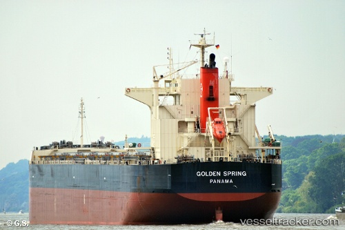
Vessel Aquatic IMO: 9363089, MMSI: 636018742 Bulk Carrier
UTC, 36.01460, -34.06020, course: 271, speed: 11.6
UTC, 36.02008, -34.31865, course: 271, speed: 11.2
2026-01-18 23:51:07 UTC, 36.02132, -34.88938, course: 270, speed: 11
Live AIS position:
UTC. 74 nm S of Pinos Puente),
updated 2026-01-18 23:51:07 UTC.
Find the position of the vessel Aquatic on the map. The latter are known coordinates and path.
marine traffic ship tracker show on live map
The current position of vessel Aquatic is 36.02132 lat / -34.88938 lng. Updated: 2026-01-18 23:51:07 UTCDetails:
Last coordinates of the vessel:
UTC, 36.01327, -33.99030, course: 271, speed: 11.5UTC, 36.01460, -34.06020, course: 271, speed: 11.6
UTC, 36.02008, -34.31865, course: 271, speed: 11.2
2026-01-18 23:51:07 UTC, 36.02132, -34.88938, course: 270, speed: 11