 vesseltracker.com
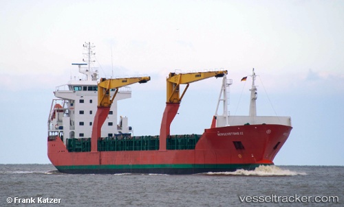
Find the position of the vessel Morgenstond Ii on the map. The latter are known coordinates and path.
marine traffic ship tracker show on live map
The current position of vessel Morgenstond Ii is 24.89857 lat / -150.00937 lng. Updated: 2025-11-06 14:06:21 UTCCurrently sailing under the flag of Netherlands
Morgenstond Ii built in 2007 year
Deadweight:
12000 tDetails:
Last coordinates of the vessel:
UTC, 24.81221, -149.26968, course: 278, speed: 13.8UTC, 24.82884, -149.40669, course: 278, speed: 13.7
UTC, 24.87479, -149.79768, course: 278, speed: 13.6
2025-11-06 14:06:21 UTC, 24.89857, -150.00937, course: 278, speed: 14.2