 vesseltracker.com
Live AIS position:
55.52020° N, 15.12678° E UTC. 12 nm N of Christiansø Havn),
updated 2025-11-23 23:30:28 UTC.
Find the position of the vessel Elbstrom on the map. The latter are known coordinates and path.
marine traffic ship tracker show on live map
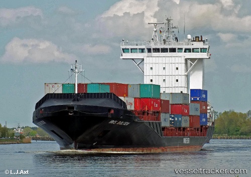
The current position of vessel Elbstrom is 55.52020 lat / 15.12678 lng. Updated: 2025-11-23 23:30:28 UTCCurrently sailing under the flag of Portugal
Elbstrom built in 2008 year
Deadweight:
11051 tDetails:
Last coordinates of the vessel:
UTC, 55.16687, 14.08852, course: 98, speed: 15.3UTC, 55.22790, 14.39402, course: 39, speed: 16.3
UTC, 55.43326, 14.78824, course: 67, speed: 16.1
2025-11-23 23:30:28 UTC, 55.52020, 15.12678, course: 66, speed: 16.2