 vesseltracker.com
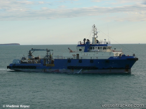
Find the position of the vessel Tanux I on the map. The latter are known coordinates and path.
marine traffic ship tracker show on live map
The current position of vessel Tanux I is 41.796666666667 lat / 37.295 lng. Updated: 2025-11-04 22:55:21 UTCCurrently sailing under the flag of Marshall Is
Tanux I built in 2006 year
Deadweight:
949 tDetails:
Last coordinates of the vessel:
UTC, 41.796666666667, 37.295, course: -1, speed: 8UTC, 41.796666666667, 37.295, course: -1, speed: 8
UTC, 41.796666666667, 37.295, course: -1, speed: 8
2025-11-04 22:55:21 UTC, 41.796666666667, 37.295, course: -1, speed: 8