 vesseltracker.com
Find the position of the vessel Berthold K on the map. The latter are known coordinates and path.
marine traffic ship tracker show on live map
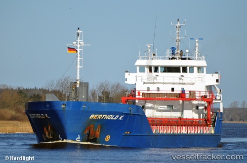
The current position of vessel Berthold K is 36.59576 lat / -8.29794 lng. Updated: 2025-11-03 09:13:55 UTCCurrently sailing under the flag of Netherlands
Berthold K built in 2008 year
Deadweight:
4442 tDetails:
Last coordinates of the vessel:
UTC, 36.53527, -9.01382, course: 85, speed: 12.3UTC, 36.54888, -8.85766, course: 84, speed: 11.1
UTC, 36.56928, -8.53085, course: 85, speed: 11.7
2025-11-03 09:13:55 UTC, 36.59576, -8.29794, course: 81, speed: 12