 vesseltracker.com
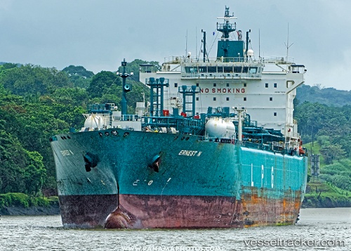
Find the position of the vessel Ernest N on the map. The latter are known coordinates and path.
marine traffic ship tracker show on live map
The current position of vessel Ernest N is 27.17746 lat / -125.75314 lng. Updated: 2025-11-19 00:26:13 UTCCurrently sailing under the flag of Liberia
Ernest N built in 2009 year
Deadweight:
43563 tDetails:
Last coordinates of the vessel:
UTC, 27.44262, -126.50038, course: 108, speed: 15.7UTC, 27.32593, -126.15374, course: 110, speed: 15.9
UTC, 27.22324, -125.87464, course: 113, speed: 15.9
2025-11-19 00:26:13 UTC, 27.17746, -125.75314, course: 112, speed: 15.9