 vesseltracker.com
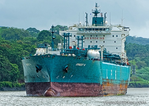
Find the position of the vessel Ernest N on the map. The latter are known coordinates and path.
marine traffic ship tracker show on live map
The current position of vessel Ernest N is 40.42712 lat / 145.43736 lng. Updated: 2025-11-05 22:35:25 UTCCurrently sailing under the flag of Liberia
Ernest N built in 2009 year
Deadweight:
43563 tDetails:
Last coordinates of the vessel:
UTC, 40.48938, 145.24615, course: 110, speed: 14.7UTC, 40.48750, 145.25211, course: 110, speed: 14.7
UTC, 40.42712, 145.43736, course: 110, speed: 14.8
2025-11-05 22:35:25 UTC, 40.42712, 145.43736, course: 110, speed: 14.8