 vesseltracker.com
Find the position of the vessel BLUE SKY on the map. The latter are known coordinates and path.
marine traffic ship tracker show on live map
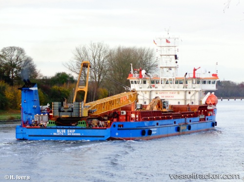
The current position of vessel BLUE SKY is 56.5505 lat / -6.72487 lng. Updated: 2025-07-18 08:04:35 UTCCurrently sailing under the flag of Palau (Republic of)
BLUE SKY built in 2006 year
Deadweight:
5664 tDetails:
Last coordinates of the vessel:
UTC, 56.549, -6.72585, course: 145, speed: 0UTC, 56.549, -6.72576, course: 145, speed: 0
UTC, 56.5509, -6.72278, course: 131, speed: 0
2025-07-18 08:04:35 UTC, 56.5505, -6.72487, course: 159, speed: 0.1
The ship also appears on the maps: