 vesseltracker.com
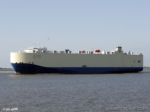
Vessel Chang Tai Hong IMO: 9382102, MMSI: 414249000 Vehicles Carrier
UTC, 10.79167, 64.52667, course: -1, speed: 15
UTC, 10.79167, 64.52667, course: -1, speed: 15
2026-01-18 18:19:14 UTC, 10.93667, 64.06833, course: -1, speed: 15
Live AIS position:
UTC. 257 nm W of Tinaquillo),
updated 2026-01-18 18:19:14 UTC.
Find the position of the vessel Chang Tai Hong on the map. The latter are known coordinates and path.
marine traffic ship tracker show on live map
The current position of vessel Chang Tai Hong is 10.93667 lat / 64.06833 lng. Updated: 2026-01-18 18:19:14 UTCCurrently sailing under the flag of China
Chang Tai Hong built in 2009 year
Deadweight:
12282 tDetails:
Last coordinates of the vessel:
UTC, 10.62833, 64.98500, course: -1, speed: 15UTC, 10.79167, 64.52667, course: -1, speed: 15
UTC, 10.79167, 64.52667, course: -1, speed: 15
2026-01-18 18:19:14 UTC, 10.93667, 64.06833, course: -1, speed: 15