 vesseltracker.com
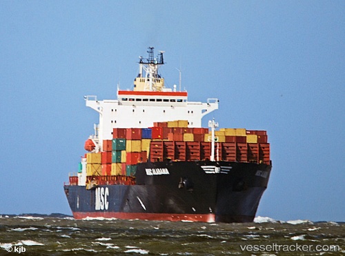
Vessel Pia IMO: 9384318, MMSI: 305066000 Heavy Load Carrier
UTC, -14.94506, 5.81546, course: 318, speed: 13.3
UTC, -14.83859, 5.71543, course: 318, speed: 13.5
2026-01-16 17:35:55 UTC, -14.55028, 5.46848, course: 325, speed: 13.3
Live AIS position:
UTC. 383 nm W of Baía dos Tigres),
updated 2026-01-16 17:35:55 UTC.
Find the position of the vessel Pia on the map. The latter are known coordinates and path.
marine traffic ship tracker show on live map
The current position of vessel Pia is -14.55028 lat / 5.46848 lng. Updated: 2026-01-16 17:35:55 UTCDetails:
Last coordinates of the vessel:
UTC, -15.15070, 6.00924, course: 318, speed: 13.4UTC, -14.94506, 5.81546, course: 318, speed: 13.3
UTC, -14.83859, 5.71543, course: 318, speed: 13.5
2026-01-16 17:35:55 UTC, -14.55028, 5.46848, course: 325, speed: 13.3