 vesseltracker.com
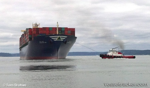
Find the position of the vessel Hyundai New York on the map. The latter are known coordinates and path.
marine traffic ship tracker show on live map
The current position of vessel Hyundai New York is 41.078566666667 lat / 152.72388333333 lng. Updated: 2025-11-03 10:11:28 UTCDetails:
Last coordinates of the vessel:
UTC, 41.1034, 152.28316666667, course: 95, speed: 17.4UTC, 41.084133333333, 152.63788166667, course: 96, speed: 16.9
UTC, 41.084133333333, 152.63788166667, course: 96, speed: 16.9
2025-11-03 10:11:28 UTC, 41.078566666667, 152.72388333333, course: 96, speed: 17.2