 vesseltracker.com
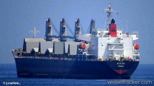
Find the position of the vessel Irma S on the map. The latter are known coordinates and path.
marine traffic ship tracker show on live map
The current position of vessel Irma S is 44.98632 lat / 30.17179 lng. Updated: 2025-11-12 05:25:00 UTCDetails:
Last coordinates of the vessel:
UTC, 44.98659, 30.17106, course: 336, speed: 0.7UTC, 44.98646, 30.17124, course: 2, speed: 0.3
UTC, 44.98634, 30.16965, course: 31, speed: 0.1
2025-11-12 05:25:00 UTC, 44.98632, 30.17179, course: 347, speed: 0.2