 vesseltracker.com
Find the position of the vessel Brownsville on the map. The latter are known coordinates and path.
marine traffic ship tracker show on live map
The current position of vessel Brownsville is 26.41167 lat / -88.83833 lng. Updated: 2025-11-11 15:29:03 UTCCurrently sailing under the flag of USA
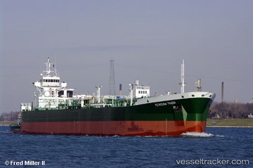
Brownsville built in 2008 year
Deadweight:
1445 tDetails:
Last coordinates of the vessel:
UTC, 26.65333, -89.49667, course: -1, speed: 13UTC, 26.51667, -89.13500, course: -1, speed: 13
UTC, 26.45667, -88.96500, course: -1, speed: 13
2025-11-11 15:29:03 UTC, 26.41167, -88.83833, course: -1, speed: 13