 vesseltracker.com
Find the position of the vessel LERUO on the map. The latter are known coordinates and path.
marine traffic ship tracker show on live map
The current position of vessel LERUO is 22.7306 lat / 69.7089 lng. Updated: 2025-08-02 22:09:06 UTCCurrently sailing under the flag of Sierra Leone
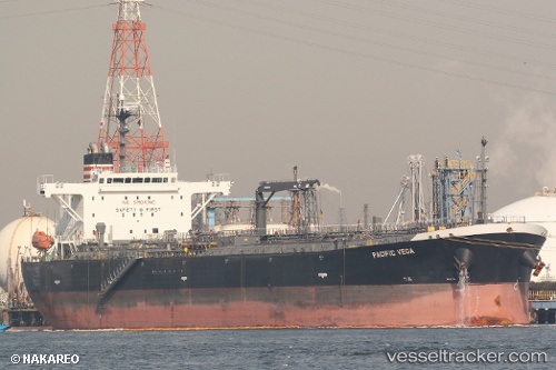
LERUO built in 2010 year
Deadweight:
45951 tDetails:
Last coordinates of the vessel:
UTC, 22.7306, 69.7089, course: 254, speed: 0UTC, 22.7306, 69.7089, course: 254, speed: 0
UTC, 22.7306, 69.7089, course: 254, speed: 0
2025-08-02 22:09:06 UTC, 22.7306, 69.7089, course: 254, speed: 0