 vesseltracker.com
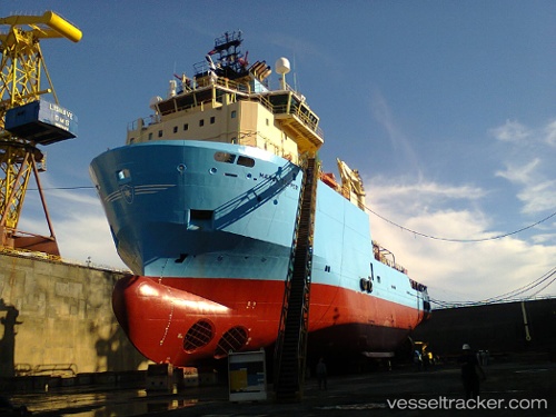
Vessel Maersk Topper IMO: 9388584, MMSI: 710003667 Offshore Tug Supply Ship
UTC, -22.99944, -43.07054, course: 183, speed: 0
UTC, -22.99705, -43.06900, course: 185, speed: 0
2026-01-16 15:37:04 UTC, -22.99525, -43.06955, course: 289, speed: 0
Live AIS position:
UTC. Near Santos Dumont Apt/Rio de Janeiro),
updated 2026-01-16 15:37:04 UTC.
Find the position of the vessel Maersk Topper on the map. The latter are known coordinates and path.
marine traffic ship tracker show on live map
The current position of vessel Maersk Topper is -22.99525 lat / -43.06955 lng. Updated: 2026-01-16 15:37:04 UTCDetails:
Last coordinates of the vessel:
UTC, -23.00182, -43.09431, course: 92, speed: 8.2UTC, -22.99944, -43.07054, course: 183, speed: 0
UTC, -22.99705, -43.06900, course: 185, speed: 0
2026-01-16 15:37:04 UTC, -22.99525, -43.06955, course: 289, speed: 0