 vesseltracker.com
Find the position of the vessel SANTA MARIA on the map. The latter are known coordinates and path.
marine traffic ship tracker show on live map
The current position of vessel SANTA MARIA is 51.00167 lat / 144.69833 lng. Updated: 2025-10-30 14:47:15 UTCCurrently sailing under the flag of Liberia
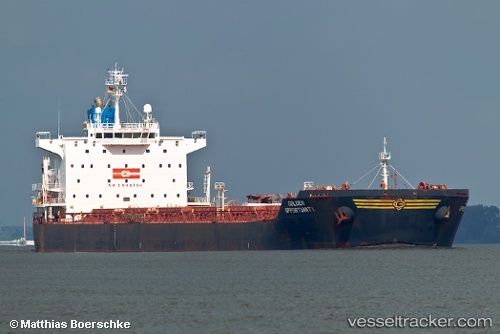
SANTA MARIA built in 2008 year
Deadweight:
75825 tDetails:
Last coordinates of the vessel:
UTC, 51.17500, 144.66833, course: -1, speed: 9UTC, 51.14333, 144.67332, course: -1, speed: 9
UTC, 51.12667, 144.67166, course: -1, speed: 9
2025-10-30 14:47:15 UTC, 51.00167, 144.69833, course: -1, speed: 9
The ship also appears on the maps: