 vesseltracker.com
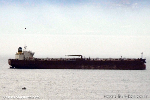
Vessel Alexia IMO: 9389966, MMSI: 538008327 Crude Oil Tanker
UTC, 26.89758, 52.51630, course: 113, speed: 11.6
UTC, 26.64699, 52.66958, course: 155, speed: 12.3
2026-01-17 12:51:00 UTC, 26.56111, 52.71190, course: 155, speed: 12.6
Live AIS position:
UTC. 35 nm E of Al Shaheen),
updated 2026-01-17 12:51:00 UTC.
Find the position of the vessel Alexia on the map. The latter are known coordinates and path.
marine traffic ship tracker show on live map
The current position of vessel Alexia is 26.56111 lat / 52.71190 lng. Updated: 2026-01-17 12:51:00 UTCCurrently sailing under the flag of Marshall Is
Alexia built in 2009 year
Deadweight:
107574 tDetails:
Last coordinates of the vessel:
UTC, 27.00272, 52.18283, course: 108, speed: 11.6UTC, 26.89758, 52.51630, course: 113, speed: 11.6
UTC, 26.64699, 52.66958, course: 155, speed: 12.3
2026-01-17 12:51:00 UTC, 26.56111, 52.71190, course: 155, speed: 12.6