vessel Gaslog Chelsea IMO: 9390185, Lng Tanker
vesseltracker.com
Vessel Gaslog Chelsea IMO: 9390185, Lng Tanker
MMSI: 310670000 callsign: ZCEK7 size: 288x288

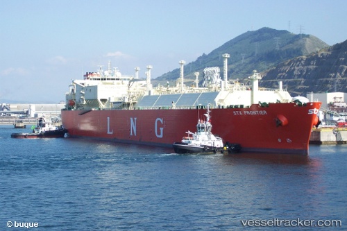
Find the position of the vessel Gaslog Chelsea on the map. The latter are known coordinates and path.

marine traffic ship tracker show on live map

The current position of vessel Gaslog Chelsea is 1.19783 lat / 103.66732 lng. Updated: 2023-02-03 11:38:20 UTC

Currently sailing under the flag of Bermuda

Gaslog Chelsea built in 2010 year

Deadweight:
86778 t

Details:


Last coordinates of the vessel:
2023-02-03 11:38:20 UTC, 1.19783, 103.66732, course: 339.9, speed: 0


Most frequent ports a vessels calls at Gaslog Chelsea (310670000):

Strait Of Gibraltar, traffic: 4
Bur Ibrahim, traffic: 4
Algeciras, traffic: 3
Dampier, traffic: 3
Port Said, traffic: 2
Selat Lombok, traffic: 2
Kali Limenes, traffic: 1
Ras as Sidr, traffic: 1
Ra’S Shukhayr, traffic: 1
Arzew, traffic: 1
Barcelona, traffic: 1
Ceuta, traffic: 1

Link to the map:


Find another ship

Gaslog_Chelsea (310670000) last ports (portcalls and passsages)

Selat Lombok | 2023-01-10 02:06:43
Dampier | 2022-12-22 05:28:11
Dampier | 2022-11-27 02:20:43
Selat Lombok | 2022-11-22 17:20:05
Dampier | 2022-11-01 06:06:46
Port Said | 2022-08-13 04:37:14
Kali Limenes | 2022-08-10 10:21:48
Strait Of Gibraltar | 2022-07-26 10:58:48
Algeciras | 2022-07-09 10:45:01
Bur Ibrahim | 2022-07-02 05:08:41
Ras as Sidr | 2022-07-01 10:02:30
Ra’S Shukhayr | 2022-07-01 01:54:12
Bur Ibrahim | 2022-06-02 16:58:39
Port Said | 2022-06-02 07:36:27
Arzew | 2022-05-26 04:32:51
Barcelona | 2022-05-15 04:37:14
Strait Of Gibraltar | 2022-05-12 13:44:26
Ceuta | 2022-03-23 09:10:03
Strait Of Gibraltar | 2022-03-13 09:55:05
Algeciras | 2022-03-11 09:15:07
Bur Ibrahim | 2022-02-26 06:35:18