 vesseltracker.com
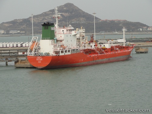
Vessel Giant Sambu IMO: 9390707, MMSI: 441181000 Chemical Oil Products Tanker
UTC, 34.14507, 126.22472, course: 280, speed: 13.5
UTC, 34.15228, 126.16790, course: 280, speed: 13
2026-01-15 11:23:44 UTC, 34.21925, 125.90960, course: 304, speed: 13.9
Live AIS position:
UTC. 15 nm SW of PAENGMOG),
updated 2026-01-15 11:23:44 UTC.
Find the position of the vessel Giant Sambu on the map. The latter are known coordinates and path.
marine traffic ship tracker show on live map
The current position of vessel Giant Sambu is 34.21925 lat / 125.90960 lng. Updated: 2026-01-15 11:23:44 UTCDetails:
Last coordinates of the vessel:
UTC, 34.11102, 126.95080, course: 262, speed: 11.9UTC, 34.14507, 126.22472, course: 280, speed: 13.5
UTC, 34.15228, 126.16790, course: 280, speed: 13
2026-01-15 11:23:44 UTC, 34.21925, 125.90960, course: 304, speed: 13.9