 vesseltracker.com
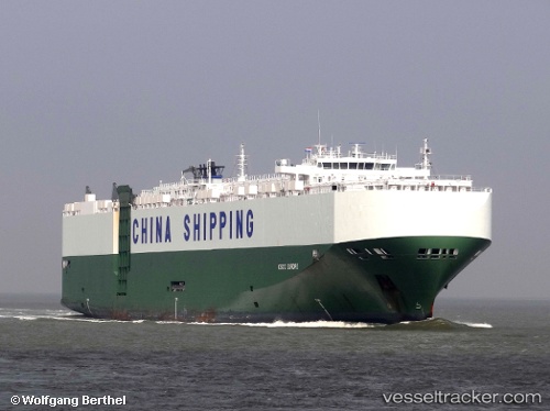
Vessel Rcc Europe IMO: 9391593, MMSI: 311003100 Vehicles Carrier
UTC, -35.10692, 19.25571, course: 89, speed: 14.1
UTC, -35.16560, 19.50647, course: 149, speed: 13.4
2026-01-18 14:14:11 UTC, -35.17591, 19.82872, course: 85, speed: 14.5
Live AIS position:
UTC. 22 nm S of Cape Agulhas),
updated 2026-01-18 14:14:11 UTC.
Find the position of the vessel Rcc Europe on the map. The latter are known coordinates and path.
marine traffic ship tracker show on live map
The current position of vessel Rcc Europe is -35.17591 lat / 19.82872 lng. Updated: 2026-01-18 14:14:11 UTCDetails:
Last coordinates of the vessel:
UTC, -34.91952, 18.94494, course: 95, speed: 13.5UTC, -35.10692, 19.25571, course: 89, speed: 14.1
UTC, -35.16560, 19.50647, course: 149, speed: 13.4
2026-01-18 14:14:11 UTC, -35.17591, 19.82872, course: 85, speed: 14.5