 vesseltracker.com
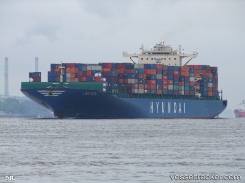
Find the position of the vessel MSC RIDA on the map. The latter are known coordinates and path.
marine traffic ship tracker show on live map
The current position of vessel MSC RIDA is 22.57387 lat / 114.26348 lng. Updated: 2025-10-28 16:45:32 UTCCurrently sailing under the flag of Portugal (MAR)
MSC RIDA built in 2009 year
Deadweight:
95810 tDetails:
Last coordinates of the vessel:
UTC, 22.57387, 114.26353, course: 49, speed: 0UTC, 22.57383, 114.26357, course: 49, speed: 0
UTC, 22.57382, 114.26347, course: 49, speed: 0
2025-10-28 16:45:32 UTC, 22.57387, 114.26348, course: 49, speed: 0