 vesseltracker.com
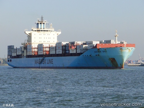
Find the position of the vessel Maersk Bali on the map. The latter are known coordinates and path.
marine traffic ship tracker show on live map
The current position of vessel Maersk Bali is -26.2717 lat / 167.367 lng. Updated: 2025-07-01 09:06:32 UTCCurrently sailing under the flag of Singapore
Maersk Bali built in 2008 year
Speed:
23 knotDeadweight:
43206 tGross tonnage:
35835Service entry:
2008-01-01T00:00:00ZManufacturer:
HJ Shipbuilding & Construction (South Korean multinational shipbuilding company)Details:
Last coordinates of the vessel:
UTC, -26.8956, 167.895, course: 323, speed: 15.7UTC, -26.7085, 167.742, course: 325, speed: 15.8
UTC, -26.6059, 167.656, course: 325, speed: 16.1
2025-07-01 09:06:32 UTC, -26.2717, 167.367, course: 324, speed: 16.3