 vesseltracker.com
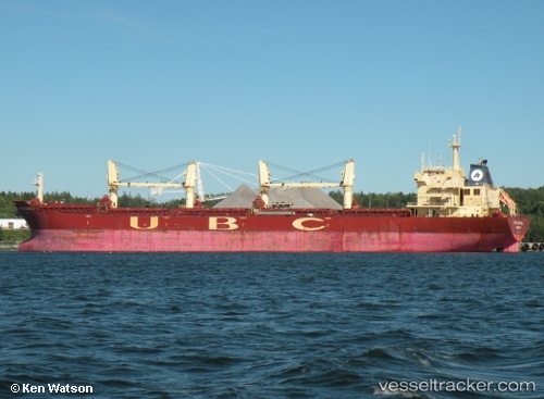
Vessel ELVITA R IMO: 9395264, MMSI: 352001740 Bulk Carrier
UTC, 22.65717, 70.05274, course: 110, speed: 0
UTC, 22.65713, 70.05237, course: 105, speed: 0
2026-01-17 12:07:58 UTC, 22.65809, 70.05397, course: 169, speed: 0
Live AIS position:
UTC. Near Rozi),
updated 2026-01-17 12:07:58 UTC.
Find the position of the vessel ELVITA R on the map. The latter are known coordinates and path.
marine traffic ship tracker show on live map
The current position of vessel ELVITA R is 22.65809 lat / 70.05397 lng. Updated: 2026-01-17 12:07:58 UTCCurrently sailing under the flag of Panama
ELVITA R built in 2009 year
Deadweight:
53428 tDetails:
Last coordinates of the vessel:
UTC, 22.65677, 70.05617, course: 263, speed: 0UTC, 22.65717, 70.05274, course: 110, speed: 0
UTC, 22.65713, 70.05237, course: 105, speed: 0
2026-01-17 12:07:58 UTC, 22.65809, 70.05397, course: 169, speed: 0