 vesseltracker.com
Find the position of the vessel ELVITA R on the map. The latter are known coordinates and path.
marine traffic ship tracker show on live map
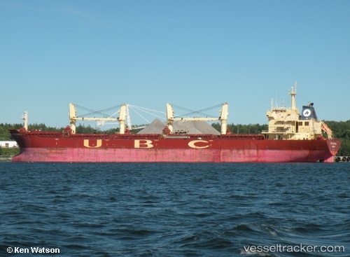
The current position of vessel ELVITA R is 22.65641 lat / 70.05615 lng. Updated: 2025-10-11 06:42:02 UTCCurrently sailing under the flag of Panama
ELVITA R built in 2009 year
Deadweight:
53428 tDetails:
Last coordinates of the vessel:
UTC, 22.65742, 70.05411, course: 70, speed: 0UTC, 22.65707, 70.05438, course: 58, speed: 0
UTC, 22.65705, 70.05442, course: 56, speed: 0
2025-10-11 06:42:02 UTC, 22.65641, 70.05615, course: 347, speed: 0
The ship also appears on the maps: