 vesseltracker.com
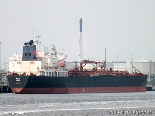
Vessel FAIR STAR IMO: 9396672, MMSI: 636022971 Crude Oil Tanker
UTC, -3.15667, 49.86167, course: -1, speed: 13
UTC, -3.03000, 50.14167, course: -1, speed: 13
2026-01-18 13:40:57 UTC, -2.95044, 50.30931, course: 65, speed: 13.1
Live AIS position:
UTC. 260 nm NW of Ile Desroches),
updated 2026-01-18 13:40:57 UTC.
Find the position of the vessel FAIR STAR on the map. The latter are known coordinates and path.
marine traffic ship tracker show on live map
The current position of vessel FAIR STAR is -2.95044 lat / 50.30931 lng. Updated: 2026-01-18 13:40:57 UTCCurrently sailing under the flag of Liberia
FAIR STAR built in 0 year
Deadweight:
0 tDetails:
Last coordinates of the vessel:
UTC, -3.32635, 49.46674, course: 63, speed: 12.7UTC, -3.15667, 49.86167, course: -1, speed: 13
UTC, -3.03000, 50.14167, course: -1, speed: 13
2026-01-18 13:40:57 UTC, -2.95044, 50.30931, course: 65, speed: 13.1