 vesseltracker.com
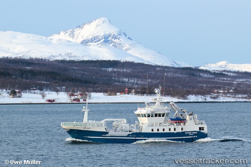
Find the position of the vessel Kamilla G on the map. The latter are known coordinates and path.
marine traffic ship tracker show on live map
The current position of vessel Kamilla G is 71.0427 lat / 25.8934 lng. Updated: 2025-07-16 15:01:09 UTCCurrently sailing under the flag of Norway
Kamilla G built in 2006 year
Details:
Last coordinates of the vessel:
UTC, 71.0427, 25.8935, course: 35, speed: 0UTC, 71.0427, 25.8934, course: 34, speed: 0
UTC, 71.0427, 25.8934, course: 35, speed: 0
2025-07-16 15:01:09 UTC, 71.0427, 25.8934, course: 33, speed: 0