 vesseltracker.com
Find the position of the vessel Al Sadd on the map. The latter are known coordinates and path.
marine traffic ship tracker show on live map
The current position of vessel Al Sadd is 32.13553 lat / 124.74541 lng. Updated: 2025-11-09 21:00:41 UTCCurrently sailing under the flag of Marshall Is
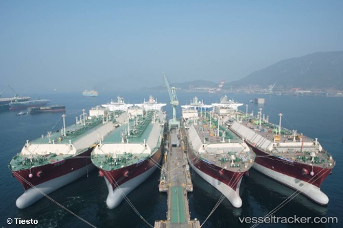
Al Sadd built in 2009 year
Deadweight:
121913 tDetails:
Last coordinates of the vessel:
UTC, 32.90167, 124.56833, course: -1, speed: 16UTC, 32.54833, 124.56500, course: -1, speed: 16
UTC, 32.13553, 124.74541, course: 159, speed: 16.4
2025-11-09 21:00:41 UTC, 32.13553, 124.74541, course: 159, speed: 16.4
The ship also appears on the maps: