 vesseltracker.com
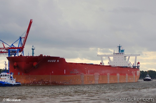
Find the position of the vessel Hugo N on the map. The latter are known coordinates and path.
marine traffic ship tracker show on live map
The current position of vessel Hugo N is -34.57758 lat / 18.01855 lng. Updated: 2025-10-20 16:53:08 UTCDetails:
Last coordinates of the vessel:
UTC, -34.37285, 17.47442, course: 116, speed: 9.1UTC, -34.45538, 17.70045, course: 116, speed: 9.5
UTC, -34.49793, 17.81303, course: 116, speed: 9.8
2025-10-20 16:53:08 UTC, -34.57758, 18.01855, course: 115, speed: 10.1