 vesseltracker.com
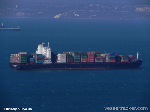
Vessel FORT DESAIX IMO: 9400174, MMSI: 229375000 Container Ship
UTC, 37.65658, -38.07244, course: 157, speed: 1.6
UTC, 37.65809, -38.06364, course: 158, speed: 1.7
2026-01-20 05:27:06 UTC, 37.66530, -38.01901, course: 159, speed: 1.7
Live AIS position:
UTC. 105 nm NW of Sariseki),
updated 2026-01-20 05:27:06 UTC.
Find the position of the vessel FORT DESAIX on the map. The latter are known coordinates and path.
marine traffic ship tracker show on live map
The current position of vessel FORT DESAIX is 37.66530 lat / -38.01901 lng. Updated: 2026-01-20 05:27:06 UTCCurrently sailing under the flag of Malta
FORT DESAIX built in 2010 year
Deadweight:
52788 tDetails:
Last coordinates of the vessel:
UTC, 37.64664, -38.12942, course: 159, speed: 1.7UTC, 37.65658, -38.07244, course: 157, speed: 1.6
UTC, 37.65809, -38.06364, course: 158, speed: 1.7
2026-01-20 05:27:06 UTC, 37.66530, -38.01901, course: 159, speed: 1.7