 vesseltracker.com
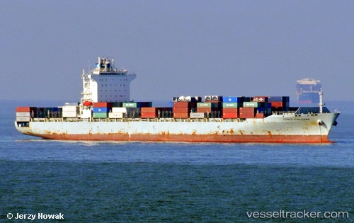
Vessel 636020589 IMO: 9400306, MMSI: 636020589
UTC, -20.64225, 12.69073, course: 158, speed: 12.6
UTC, -20.84003, 12.77838, course: 160, speed: 12.2
2026-01-19 01:37:13 UTC, -20.85570, 12.78515, course: 162, speed: 12
Live AIS position:
UTC. 113 nm NW of Henties Bay (Hentiesbaai)),
updated 2026-01-19 01:37:13 UTC.
Find the position of the vessel 636020589 on the map. The latter are known coordinates and path.
marine traffic ship tracker show on live map
The current position of vessel 636020589 is -20.85570 lat / 12.78515 lng. Updated: 2026-01-19 01:37:13 UTCDetails:
Last coordinates of the vessel:
UTC, -20.26875, 12.51925, course: 159, speed: 12.3UTC, -20.64225, 12.69073, course: 158, speed: 12.6
UTC, -20.84003, 12.77838, course: 160, speed: 12.2
2026-01-19 01:37:13 UTC, -20.85570, 12.78515, course: 162, speed: 12